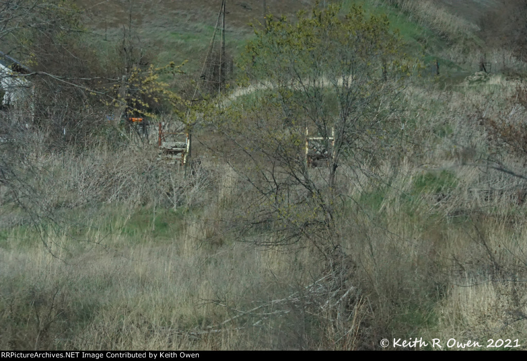
| The rock cribs mark the location of the near side of the NP\BN bridge over the Umatilla River. The fill is the location of the far side of the bridge. Abandoned in 1992. |
| Date:
4/11/2021 |
Location:
Pendleton, OR Map  |
Views:
44 |
Collection Of:
  Keith Owen
 |
|
Author: Keith Owen
|
 |
| Picture Categories: Scenic |
This picture is part of album: Abandoned |